

Living in Charleston is wonderful! We’ve received numerous awards for our restaurants, tourism, and just by being a gorgeous city. But whenever there is heavy rain in the forecast, every Charlestonian knows that flooding is inevitable in the older areas. Those that are newcomers to our area may not know that when there is rain, there will be flooding.
But why does it seem to flood so much in Charleston?
Charleston has been battling with flooding since its founding over 300 years ago. As far back as the 18th century, Charlestonians have made a practice of expanding the city by infilling the various creeks and marshes that surround the area.
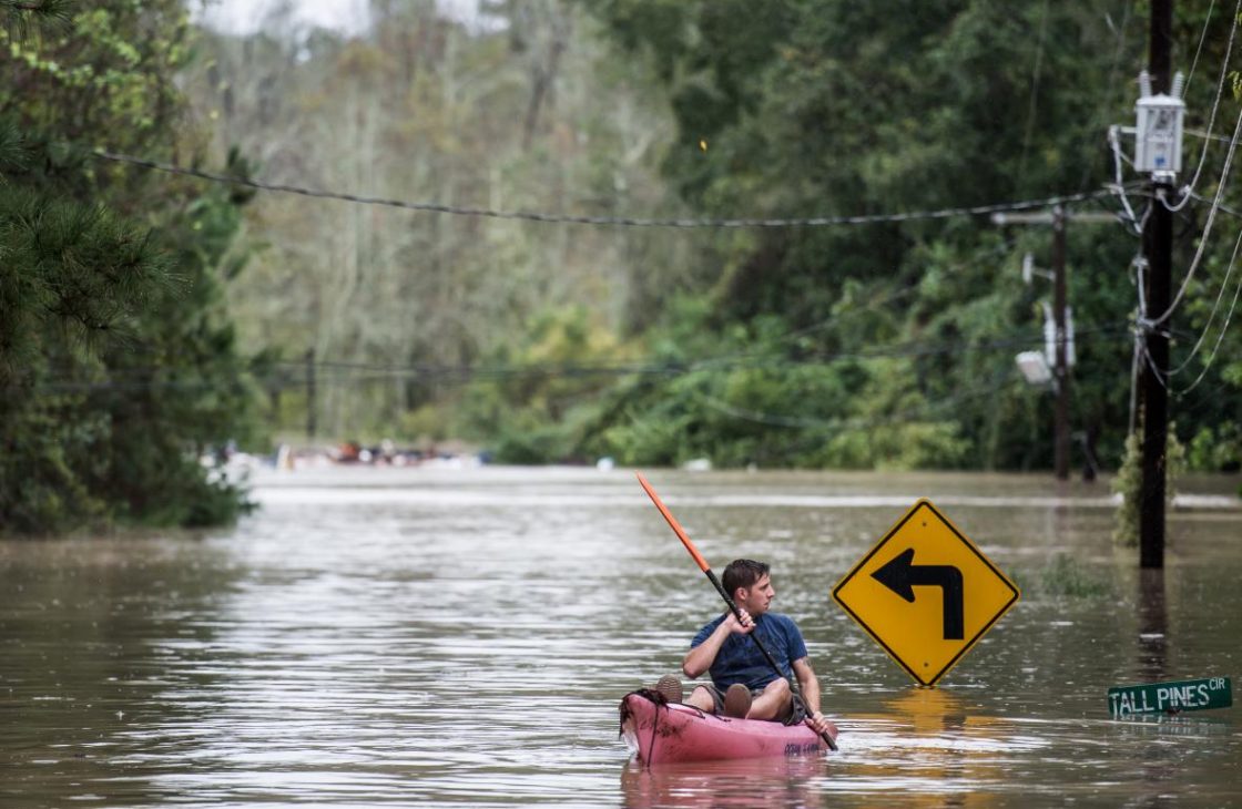
It’s a fairly common experience to see kayakers going through the Market Street and Meeting Street area during particularly high flooding, especially during the “1000 year flood” in 2015.
The perfect combination of events made the 1000 year flood a reality. A “Rex Block” weather system, coupled with unusually high tides from a rare Super Moon, and a Category 4 Hurricane Joaquin churned up the oceans hundreds of miles off shore. Over a 3-day span, Charleston experienced nearly 20″ of rain and caused extensive flooding.
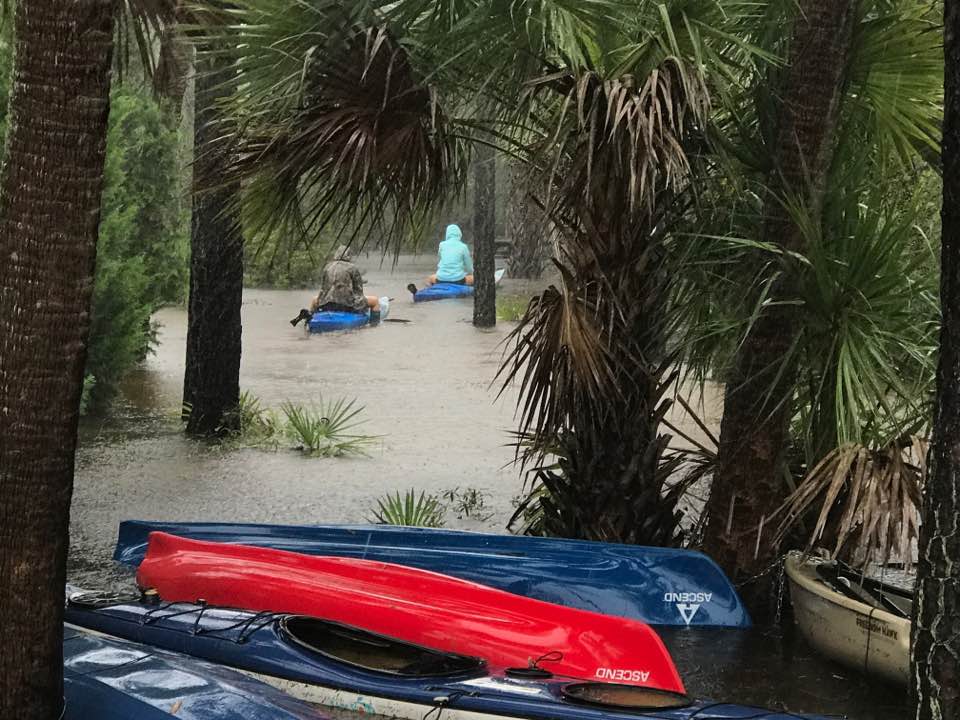
It’s not uncommon to see some flooding when it rains across the Lowcountry. Understanding what parts of the peninsula are going to experience flooding and their severity will help protect you and those around you. It’s incredibly important to know when purchasing a home the ins and outs of flood insurance, obtaining an elevation certificate, and what type of flood zone you live in to protect yourself and your new home.
Daniel Island has an exceptionally positive experience when it comes to flooding, even during hurricanes like Matthew and Irma. Although the island did see flooding in low lying areas and near marshes, the island overall was spared the disastrous consequences that so many other areas of Charleston felt after the storms subsided.
Why is it though that Daniel Island has less obtrusive damage and the flood waters recede so quickly? If only it were all good luck!
Because Daniel Island has such a wonderful vision for the island, in the early steps of development, the DIC took steps to go beyond the stand of design. At that time, the standard was to make sure that infrastructure could handle a 10 year storm, meaning, if you received 7 inches of rain in 24 hours, the streets would be passable. But the DIC decided to ensure that the island could handle a 25 year storm.
Throughout the island there are storm drain pipes and inlets that are bigger than what was required and helps navigate the waters away and into the surrounding waterways. The different topographies on the north and south side of the island allowed for runoff water to go into the marshes and ultimately into the Charleston Harbor. This helps keep our wetlands active and creates wetland vegetation, but also serves as a nice conduit.
It also helps that outfall areas are kept clear of debris and excess vegetation and that the lakes are interconnected in some form to help facilitate the drainage of rainfall.
Our team of real estate agents know all there is to know about flood insurance and can help you make the right decision when purchasing a home. With the current flood insurance policy changing, its especially important to know how this new policy could affect your current flood insurance. You can learn more about the new flood insurance reform here.
